New free tool Holiday spending money calculator
Skip to main content
Satelite over Africa

The Algorithm That Finds Paradise Before You Do

Somewhere on a Namibian salt pan right now, a satellite is doing the work that used to belong to an explorer. It's cross-referencing elevation data, mapping soil stability, checking cloud-cover averages across twelve years of archived imagery, and identifying a parcel of land so genuinely remote that no hospitality scout has ever stood on it with a clipboard and a mood board. Then it files its findings, and about eighteen months later someone pours you a gin and tonic there while the horizon turns apricot.

This is how "exclusive" is now made.

The Tools That Were Never Meant for This

The satellite imaging technology doing this work was not built to find views. It was built to track the retreat of the Greenland ice sheet, to monitor deforestation in the Congo Basin, to map contested terrain in places nobody books holidays to. The algorithms underneath it are trained to find change – specifically, to notice where human activity has not yet reached, and to document the absence of it.
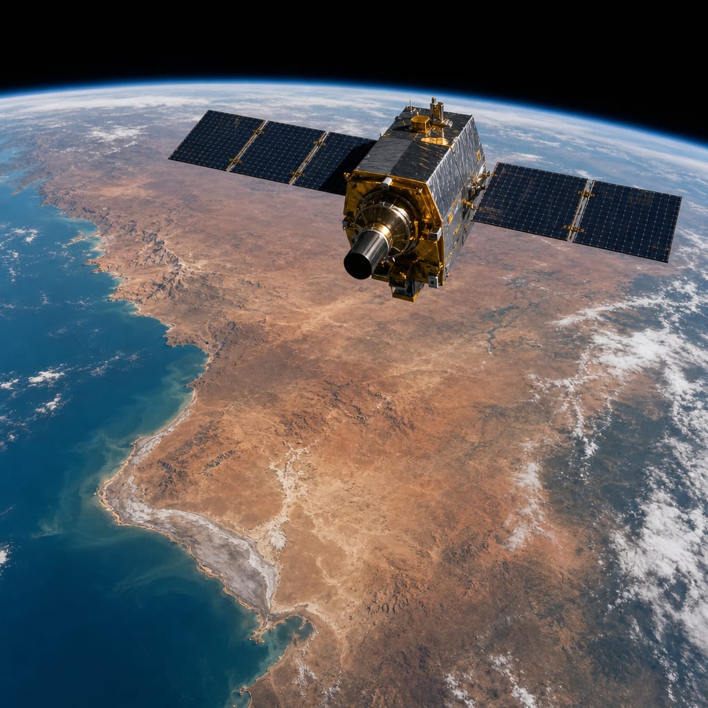
Satelite over Africa

Someone in the luxury hospitality industry noticed that a tool which identifies untouched land for climate science is also, quietly, a tool which identifies untouched land for a swimming pool. So they borrowed it.

The Lofoten Inlet That Didn't Exist on Any Hotel Map

Five years ago, a handful of ultra-remote destinations simply did not appear in any hospitality database because nobody had gone looking for them. A ridge property in Bhutan. A tented camp on the edge of a Namibian salt pan. A cluster of cabins above a Norwegian fjord inlet. Not because they weren't extraordinary, but because the traditional method of finding extraordinary places was a person with a backpack and enough frequent flyer miles to make the journey worth guessing at. That person can only cover so much ground.

The satellite does not get tired.

The result is that the genuinely new luxury destination – the one that feels like you are first, or very nearly first – is now a product of cold computational logic rather than any hotelier's romantic instinct for a good view. For a curated look at what these kinds of remote properties now look like in practice, Elegant Resorts is worth a browse.

What "Untouched" Costs to Maintain

There is a pleasantly strange irony buried here. The technology that locates these places is the same technology that tells you how quickly they are disappearing. The glacier retreat data, the deforestation monitoring, the terrain mapping – it all runs through the same systems, so the algorithm that finds your salt pan sunset also knows, with reasonable accuracy, how many more years the salt pan will look like that.

Whether that makes the experience more precious or just more melancholy probably depends on how you feel about the gin.

What it does mean is this: the hunt for somewhere that feels genuinely unvisited has become a technological arms race dressed up in linen and ambient lighting. The last places on earth that feel like nobody has been there yet are being found, increasingly, by the same instruments we built to watch the earth change around us. Which is either the most sophisticated thing the travel industry has ever done, or the most revealing.

Probably both.

FAQ

How do satellites help find new luxury travel destinations?

Satellite analysis tools use images and other data to identify remote areas of the world that tourism and hospitality scouts have never been to. They cross-reference elevation data, soil stability and cloud-cover averages from twelve years of archived imagery. Once a suitable area of land has been identified, within approximately 18 months a luxury property can follow – for example a camp on a salt pan in Namibia.

Was satellite imaging originally built to find holiday locations?

No, this technology was originally designed for environmental monitoring and mapping rather than travel, to track the melting of the Greenland ice sheet, to monitor deforestation in the Congo Basin and to map out contested areas. It identifies change and notes where humans have not yet arrived, information that luxury hospitality has since borrowed.

Which remote luxury destinations has satellite data helped uncover?

A ridge top property in Bhutan, a tented camp on the edge of a salt pan in Namibia and a cluster of cabins perched above an inlet to a fjord in Norway – all of these found no mention in any hospitality database five years ago, simply because nobody had gone looking, as the older method relied on one traveller covering limited ground.

Can the same technology show how long untouched places will stay that way?

Yes, because the same systems are used to track how fast these locations are changing. This includes data on glacier retreat, deforestation and terrain mapping. As a result, the same algorithm that finds that sunset over the salt pan, for example, can also provide a reasonably accurate estimate of how many more years the salt pan will continue to look like that.


Dubai Visa Requirements for UK Visitors
Travel Rights

Dubai Visa Requirements for UK Visitors

Travellers with backpacks and wheeled suitcases walking past a bank of blue departures screens and check-in signs in a busy airport terminal
Package Holidays, Travel Rights

Package Holiday Regulations Explained: ATOL, ABTA and Your Rights When Things Go Wrong

Vaccinations You'll Need for Thailand
Tips

Vaccinations You’ll Need for Thailand

Getting an Emergency Passport Abroad
Package Holidays

Getting an Emergency Passport Abroad

How to Layer for a Long Haul Flight
Blog

How to Layer for a Long Haul Flight

The Algorithm That Finds Paradise Before You Do

Somewhere on a Namibian salt pan right now, a satellite is doing the work that used to belong to an explorer. It's cross-referencing elevation data, mapping soil stability, checking cloud-cover averages across twelve years of archived imagery, and identifying a parcel of land so genuinely remote that no hospitality scout has ever stood on it with a clipboard and a mood board. Then it files its findings, and about eighteen months later someone pours you a gin and tonic there while the horizon turns apricot.

This is how "exclusive" is now made.

The Tools That Were Never Meant for This

The satellite imaging technology doing this work was not built to find views. It was built to track the retreat of the Greenland ice sheet, to monitor deforestation in the Congo Basin, to map contested terrain in places nobody books holidays to. The algorithms underneath it are trained to find change – specifically, to notice where human activity has not yet reached, and to document the absence of it.

Satelite over Africa

Someone in the luxury hospitality industry noticed that a tool which identifies untouched land for climate science is also, quietly, a tool which identifies untouched land for a swimming pool. So they borrowed it.

The Lofoten Inlet That Didn't Exist on Any Hotel Map

Five years ago, a handful of ultra-remote destinations simply did not appear in any hospitality database because nobody had gone looking for them. A ridge property in Bhutan. A tented camp on the edge of a Namibian salt pan. A cluster of cabins above a Norwegian fjord inlet. Not because they weren't extraordinary, but because the traditional method of finding extraordinary places was a person with a backpack and enough frequent flyer miles to make the journey worth guessing at. That person can only cover so much ground.

The satellite does not get tired.

The result is that the genuinely new luxury destination – the one that feels like you are first, or very nearly first – is now a product of cold computational logic rather than any hotelier's romantic instinct for a good view. For a curated look at what these kinds of remote properties now look like in practice, Elegant Resorts is worth a browse.

What "Untouched" Costs to Maintain

There is a pleasantly strange irony buried here. The technology that locates these places is the same technology that tells you how quickly they are disappearing. The glacier retreat data, the deforestation monitoring, the terrain mapping – it all runs through the same systems, so the algorithm that finds your salt pan sunset also knows, with reasonable accuracy, how many more years the salt pan will look like that.

Whether that makes the experience more precious or just more melancholy probably depends on how you feel about the gin.

What it does mean is this: the hunt for somewhere that feels genuinely unvisited has become a technological arms race dressed up in linen and ambient lighting. The last places on earth that feel like nobody has been there yet are being found, increasingly, by the same instruments we built to watch the earth change around us. Which is either the most sophisticated thing the travel industry has ever done, or the most revealing.

Probably both.

FAQ

How do satellites help find new luxury travel destinations?

Satellite analysis tools use images and other data to identify remote areas of the world that tourism and hospitality scouts have never been to. They cross-reference elevation data, soil stability and cloud-cover averages from twelve years of archived imagery. Once a suitable area of land has been identified, within approximately 18 months a luxury property can follow – for example a camp on a salt pan in Namibia.

Was satellite imaging originally built to find holiday locations?

No, this technology was originally designed for environmental monitoring and mapping rather than travel, to track the melting of the Greenland ice sheet, to monitor deforestation in the Congo Basin and to map out contested areas. It identifies change and notes where humans have not yet arrived, information that luxury hospitality has since borrowed.

Which remote luxury destinations has satellite data helped uncover?

A ridge top property in Bhutan, a tented camp on the edge of a salt pan in Namibia and a cluster of cabins perched above an inlet to a fjord in Norway – all of these found no mention in any hospitality database five years ago, simply because nobody had gone looking, as the older method relied on one traveller covering limited ground.

Can the same technology show how long untouched places will stay that way?

Yes, because the same systems are used to track how fast these locations are changing. This includes data on glacier retreat, deforestation and terrain mapping. As a result, the same algorithm that finds that sunset over the salt pan, for example, can also provide a reasonably accurate estimate of how many more years the salt pan will continue to look like that.

Dubai Visa Requirements for UK Visitors

Dubai Visa Requirements for UK Visitors

Travellers with backpacks and wheeled suitcases walking past a bank of blue departures screens and check-in signs in a busy airport terminal

Package Holiday Regulations Explained: ATOL, ABTA and Your Rights When Things Go Wrong

Vaccinations You'll Need for Thailand

Vaccinations You’ll Need for Thailand

Getting an Emergency Passport Abroad

Getting an Emergency Passport Abroad

How to Layer for a Long Haul Flight

How to Layer for a Long Haul Flight