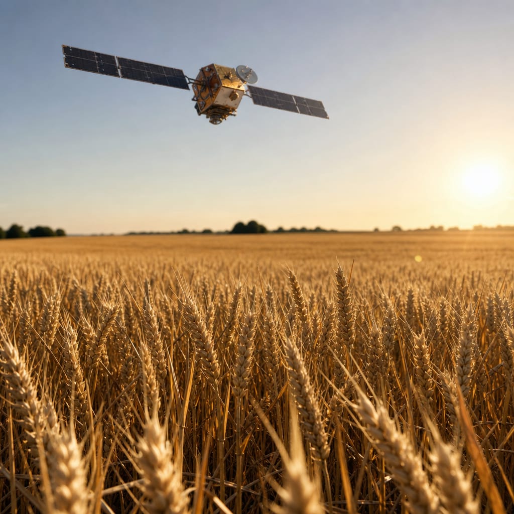
Somewhere over Lincolnshire, a satellite built to count stressed wheat plants is also, probably, counting cars. Not because anyone particularly planned it that way. But because someone in retail logistics noticed that a camera which could spot a struggling crop from orbit – by reading the precise wavelength of light bouncing off the leaves – could just as easily read the precise number of cars in a Primark car park in Doncaster on a Saturday afternoon. And once you can count those cars, you can start to understand what is actually selling, in real time, before any trend forecaster has clicked open a new PowerPoint and typed the word "micro-season".
The old speed of fashion was basically the speed of manufacturing. A designer showed something in February, buyers placed orders, and factories in Portugal and Bangladesh started cutting fabric. Roughly eighteen months later, a version of the thing landed on a high-street rail – by which point someone had already declared it dead. The whole system ran on educated guesswork, softened by spreadsheets.
What Multispectral Imaging Does
The satellites involved here are not the ones taking crisp holiday snaps of the Alps. They shoot in multiple light frequencies at once – visible light, near-infrared, shortwave infrared – because a stressed wheat crop and a healthy one reflect those wavelengths differently. A farmer can see which field needs attention without leaving the kitchen. That is the point of the technology.
It turns out a busy car park and a quiet one also reflect those frequencies differently. So do full delivery bays and empty ones. Retailers now subscribe to processed versions of this data. Not raw images they have to interpret themselves, but cleaned-up footfall figures delivered like a weather report. Competitor A's out-of-town store is down seventeen per cent on last Saturday. Competitor B's is up. You now know something about what is selling two counties over without sending a single person to look.
The Eighteen Months That Quietly Disappeared
That gap between catwalk and rail used to give trend forecasters their professional lives. They had time to write the reports, sell them, let retailers plan around them. That window has shrunk to weeks in some cases – not because designers are faster, but because the guesswork has been replaced, or at least heavily supplemented, by this satellite-fed picture of what the public is buying right now, today, in Doncaster and Dundee and Derby all at once.
The knock-on effect is simple. A trend which would once have been committed to, manufactured, and flooded into stores on faith can now be quietly dropped if the early signals from the car parks look weak. You never see it. It never existed, as far as you are concerned – the satellite killed it before it reached you.
The Field That Started All of This
It is a slightly strange image, when you sit with it. The technology bred for agriculture, drifting sideways across industries until it ends up quietly editing the inside of your wardrobe. The wheat crop it was designed to worry about is still out there in Lincolnshire, being duly worried about. It just has a second job now.
FAQ
What does multispectral imaging actually do?
Multispectral imaging records how light of various frequencies (visible, near-infrared, shortwave infrared) is reflected by stressed and healthy crops and by busy and quiet car parks and full and empty delivery bays of stores. Farmers and retailers therefore get to see problem fields as well as current trading of stores.
How do retailers use satellite data to see what is selling?
Retailers subscribe to processed footfall figures rather than raw images, made available on a similar basis to weather forecasts. For example a competitor’s out-of-town store may report a decrease of 17 per cent on last Saturday while another store is up. This enables retailers to get a sense of what is selling elsewhere in the market without the need for physical inspection.
How long did fashion take to get from catwalk to shop?
The time frame from designer collections on the catwalk to your local high street store traditionally took around 18 months. This would mean designers would show their collections in February and buyers would place orders and the fabric would be cut in Portugal and Bangladesh factories. The entire process relied on an educated guess. Satellite-fed sales data has shrunk that window to weeks in some cases.
Can satellite data stop a fashion trend before shoppers see it?
This new information can be used to drop a weak trend before it even hits the shops. In the past, trends were committed to, made up and then distributed to retailers on the basis of a retailer’s guess as to whether they would work. Today, if early signals from car parks look weak, a retailer can decide not to stock a trend and the product is never seen by customers.